Welsh Revenue Authority weeknotes
📝 Weeknotes #3 - land and property data proof of concept
Hi all,
Thanks for joining our show and tell earlier, and welcome to the third weeknotes for the land and property data proof of concept. In future, we are hoping to share these more widely, but for now it’s just for the people who came to the show and tell.
A reminder that we are exploring how the WRA can support geographically varied land and property taxes and if a data platform for land and property in Wales could also be the foundation for something more. We want to:
- Bring the opportunities and challenges to life
- Give Ministers potential policy options
- Be clear about the scale of ambition and where to start
- Demonstrate new ways of working
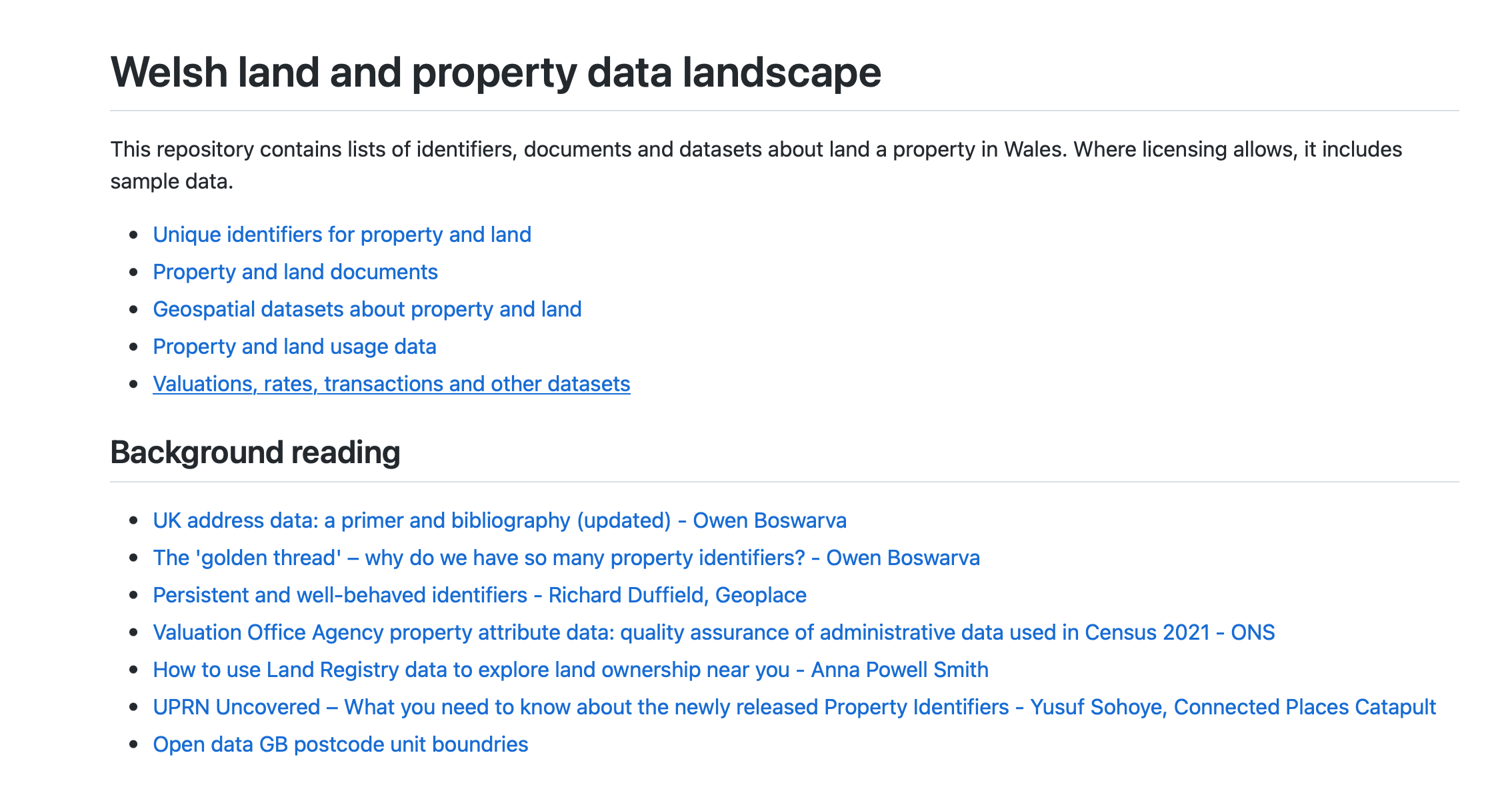
🗺 The data landscape
We’ve been mapping out existing identifiers and datasets for land and property in Wales. We hope this will be a useful artefact to engage with other organisations about where the gaps are and how they use land and property data:
- https://github.com/welsh-revenue-authority/data-landscape/blob/main/README.md
🎚 Worked examples - adding UPRN and INSPIRE to the spine
Each week we are aiming to build out a prototype of the data platform so we can understand what we might need to calculate localised LTT and potentially other services too.
This week, we added the geographical boundaries of a property, in the form of Land Registry’s INSPIRE polygons:
We didn’t quite get on to using those in a calculation, but hope to return to that next week.
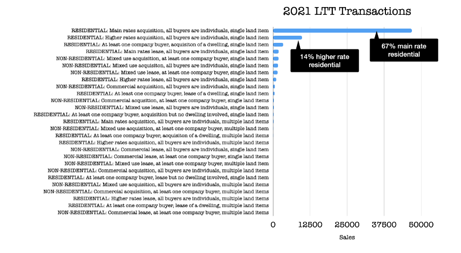
📊 Analysing LTT transactions
We looked at the breakdown of LTT payments to understand the common cases:
🗞 Blog post and team website
We have published our team website for the project and the first blog post:
- https://welsh-revenue-authority.github.io/property-data-poc/cy/
- https://welsh-revenue-authority.github.io/property-data-poc/en/
🗓 Focus for next week
- Consolidating work so far
- Revising how we explain the focus of the work
- Getting ready for expanding the team